Trail Trials: Cloudland Canyon
- Tim Murphy
- Dec 11, 2022
- 3 min read
The high country of Northwest Georgia is home to many fascinating natural landmarks, but few can compare to the popularity and magnificence of Cloudland Canyon. The resultant of violent tectonic activity and sequential erosion, Cloudland Canyon emerged during the Late Paleozoic Era (approximately 325 – 250 million years ago) when supercontinents Gondwana and Laurasia collided to form Pangea. This momentous terrestrial event, known as the Alleghenian Orogeny, caused an uplifting of the Appalachian Mountains and surrounding sedimentary beds through the ancient Iapetus Ocean. The canyon’s rim gradually appeared as coastal waters receded over millions of years.

In more contemporary geological history, Cloudland Canyon developed from sedimentary erosion beneath Bear and Daniel Creeks. Superficial sandstone strata were destabilized as water flows deteriorated underlying layers of shale—a brittle and easily erodible rock composed of fine-grained clay particulates—causing massive rock formations to collapse into the expanding valley below. At its current extremes, Cloudland Canyon spans nearly a half-mile across and reaches depths over one thousand feet.
Today, Cloudland Canyon State Park protects the eponymic Georgian gorge within 3,538 acres of recreational land, complete with dozens of campsites, cabins, and over sixty miles of hiking trails. The grounds are open from 7 a.m. to 10 p.m. daily. A $5 parking fee is required upon entry.

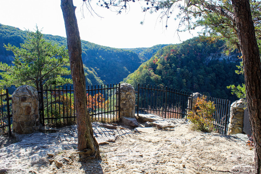
Formerly rated as one of the “Best Day Hikes in America” by Backpacker Magazine, the 4.9-mile West Rim Loop Trail showcases Cloudland’s intriguing geomorphology, ecological diversity, and picturesque views. The trail begins at the East Rim Parking Lot, where visitors are immediately greeted by a stunning canyon vista. Yellow blazes mark the main trailhead to the left of the viewpoint. The Loop Trail initially descends 0.4 miles into the gorge, crosses Daniel Creek, then turns sharply uphill along a rocky, sandstone ridge.
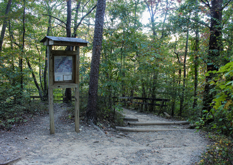
The yellow blazes diverge near a small footbridge and information board at the 1.3 mile mark. Going clockwise, the trail winds through dense forests and parallels a ridgeline overlooking Trenton, Georgia, and neighboring Sand Mountain. A panoramic view of Sitton Gulch marks the northern apex of Cloudland Canyon. The footpath continues another mile south along the canyon’s western rim, offering several spectacular vantages into the gorge. The loop reconnects with itself at mile 3.6 and hikers may retrace their outbound steps back towards the main trailhead.

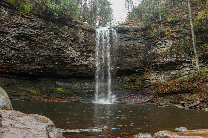
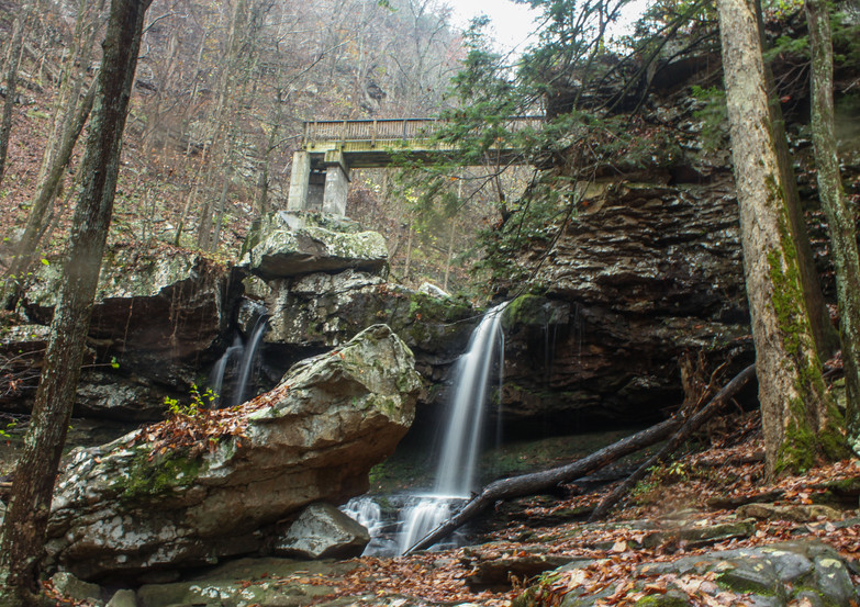
Before returning to the parking lot, visitors are encouraged to venture down the Waterfalls Trail—a particularly strenuous, 1.8-mile trek that descends nearly five hundred feet into the canyon and features two captivating plunge waterfalls. The trail contours the east canyon wall for 0.3 miles before splitting into two branches. A sharp left leads to the sixty-foot Cherokee Falls several hundred yards away, while the alternative path continues another half mile to the ninety-foot Hemlock Falls. Some of Daniel Creek’s smaller cascades may be observed from an L-shaped bridge near the trail’s terminus. Once the outbound is complete, six hundred stairsteps await your ascensive return. The combined West Rim Loop and Waterfalls Trail totaled 6.7 miles and took approximately four hours to complete.
Cloudland Canyon is Georgia’s geological sensation where breathtaking scenery and inspirational adventures are in full abundance. The state park has done a wonderful job promoting outdoor recreation and conjunctive conservationism. All the canyon’s hiking trails are well-maintained, easy to follow, and adequately challenging for every level of expertise. Cloudland’s attributes leave little doubt why it’s considered one of the most extraordinary hiking destinations in the American South. Trail Rating: 10/10
For more information on Cloudland Canyon State Park and its fascinating geological features, visit Georgia State Parks, Cloudland Canyon, Emory Scholar Blogs, Atlanta Trails, Hike the South, AllTrails, 365 Atlanta Traveler, Wander North Georgia, Backpacker, Simply Awesome Trips, Adventure Dragon, and Only in Your State


